If you live in Gainesville and you’ve noticed a soft spot in your yard, a crack running along your wall, or a door that suddenly won’t close right, it’s natural to wonder whether the ground beneath your home is stable.
Sinkhole activity in Gainesville, FL, is a documented reality. According to the Alachua County Environmental Protection Department, roughly 63% of the county’s land area carries some potential for ground collapse, which is tied to the region’s karst limestone geology.
This article walks you through why Gainesville sits in a higher-risk zone, what warning signs to watch for at your home, and what a professional inspection typically involves. Guidance here draws from the same principles used by experienced Florida foundation specialists, including Helicon, who work with these conditions daily. Keep reading, and you’ll leave with a clear picture of what to do next.
Why This Area Sees Ground Movement
Gainesville sits directly above one of the most geologically active limestone systems in the country, which means ground movement here isn’t random or rare. The combination of the region’s karst geology and Florida’s intense rainfall creates conditions in which the ground can shift gradually or give way suddenly.
Florida Geology Beneath Gainesville
Alachua County rests on the Floridan Aquifer System, a vast network of porous limestone and dolostone that extends deep underground. Slightly acidic groundwater moves through cracks and joints in this limestone, dissolving the rock slowly over thousands of years. That dissolution creates underground voids, and when those voids grow large enough, the soil above them loses its support and subsides.
The name “Alachua” itself comes from a mangled Spanish-Native American reference to a local sinkhole near what is now Paynes Prairie. This area has a geological identity built around karst activity. The Alachua Sink, located within Gainesville, drops more than 120 feet and connects directly to the aquifer below, making it one of the most visible reminders of the active dissolution process happening beneath the city.
Karst topography is the defining geological feature of north-central Florida. Unlike areas with clay or granite bedrock, karst regions dissolve from below rather than compress or shift laterally, which is why sinkhole formation here produces sudden depressions rather than gradual tilting.
How Rainfall And Groundwater Changes Affect Stability
Heavy rainfall events add significant weight to already unstable soils, which can accelerate the collapse of a thin sediment layer over an existing void. That added pressure is often the final trigger for a sinkhole that has been forming quietly for years.
Drought conditions create an equally serious risk. When the water table drops, the groundwater that was previously supporting the soil from below withdraws, leaving weakly consolidated sediments unsupported. Sinkhole activity tends to spike when a prolonged dry period is followed by a large rain event, exactly the pattern that Gainesville sees during the transition from dry season to wet season each spring.
Water pumping for irrigation, construction dewatering, and municipal supply also lowers the aquifer locally. Each of these human activities can accelerate what geology was already doing on its own.
Early Clues Around A Home Or Yard
Recognizing common Florida sinkhole warning signs is critical, as most sinkholes announce themselves before they fully form. Identifying those signs before a sinkhole forms separates a timely inspection from a costly emergency.
Cracks, Sloping Floors, And Sticking Doors
Stair-step cracks along brick or block walls are one of the more telling interior signs. This crack pattern follows the mortar joints diagonally, which happens when one section of a foundation drops lower than the surrounding structure. A single hairline crack from a nail pop is not a concern, but a crack that widens at one end or continues to grow over days or weeks deserves attention.
Floors that slope toward a specific point in the room are worth noting. You can test this easily by placing a marble or small ball on the floor and watching where it rolls. If it consistently moves in one direction rather than staying still, the subfloor beneath that area has likely shifted.
Doors and windows that stick or fail to latch properly are another sign. When a foundation shifts, door frames go out of square, which is why a door that opened and closed smoothly last month may suddenly require extra force today.
Depressions, Soft Spots, And Pooling Water Outdoors
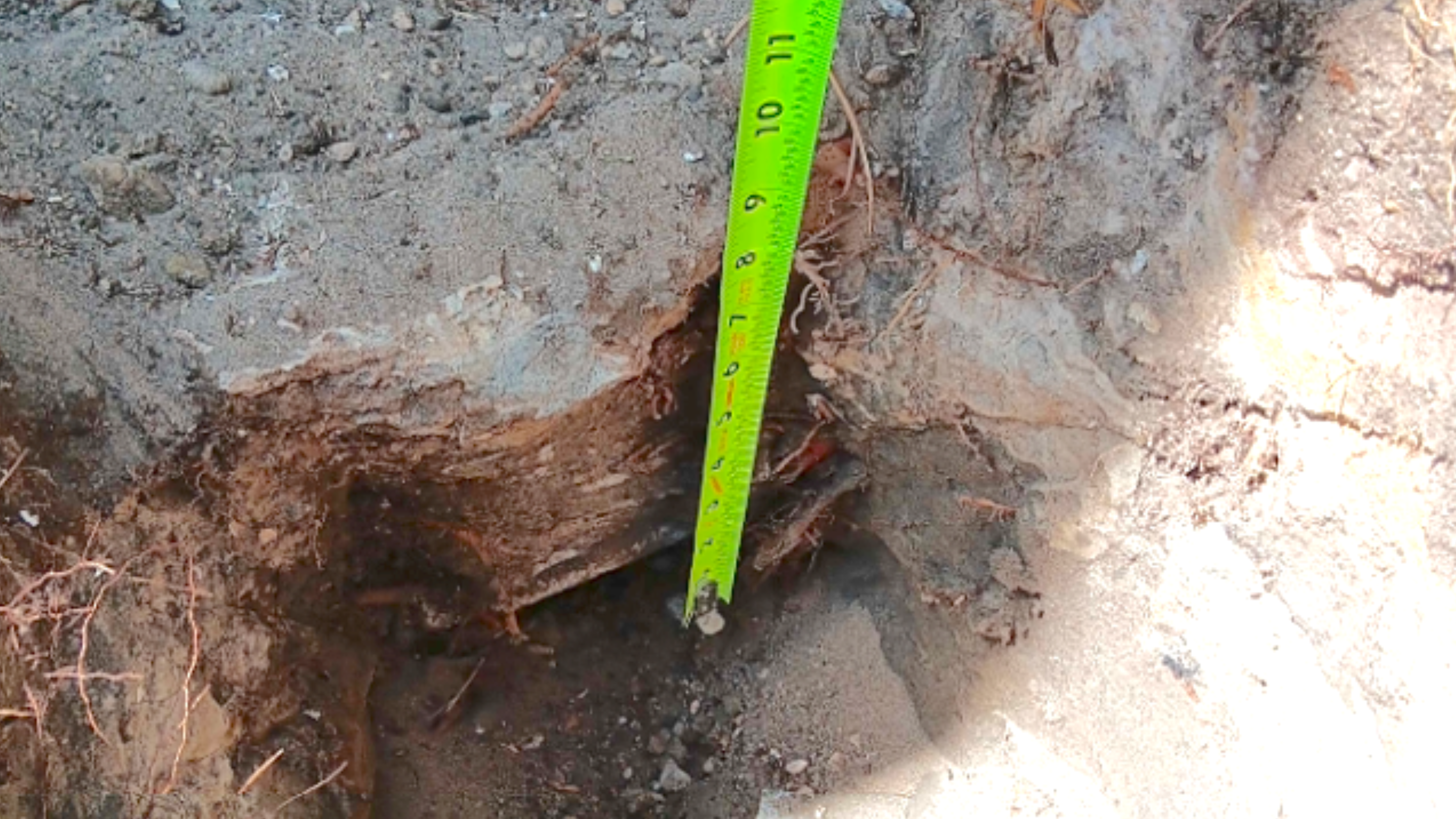
Circular depressions in a yard are among the clearest outdoor indicators. They may start small, just a few inches deep and a foot or two wide, before expanding. The circular shape distinguishes them from erosion channels or trenching, which tend to be linear.
Soft spots in the lawn that feel spongy underfoot can indicate that the soil column above a void has already begun to consolidate. Walking across the yard and noticing unusual give in a specific area is worth marking and monitoring over several days.
Water pooling in spots that drain well under normal conditions is another signal. When the soil beneath shifts or settles, drainage patterns change. A low area that fills during rain and never fully drains may be sitting above a subsurface void that is absorbing water and slowly growing.
When A Small Warning Sign Becomes Urgent
Not every crack or soft spot requires an emergency response, but some combinations of signs demand prompt professional evaluation. Knowing which conditions cross from “monitor this” into “call someone today” protects both your property and the people inside it.
Signs That Call For Prompt Professional Evaluation
Call for an inspection without delay if you observe any of the following:
- A depression that forms overnight or grows noticeably within 24 to 48 hours
- A crack that is wider than a quarter inch or that is actively widening
- A section of flooring or driveway that drops abruptly rather than sloping gradually
- Murky or silty water from a well, which can signal that soil is washing into the aquifer below
- Windows and doors that go from fitting normally to sticking within a short time window
- Visible gaps opening between your wall and the floor or ceiling
Any single sign warrants attention, but two or more occurring together, especially in the same area of the property, is a strong indicator that something is actively happening underground.
Problems That Can Be Mistaken For Sinkhole Damage
Not every subsidence event is a true sinkhole. The Florida Geological Survey notes that most reported depressions are never officially verified as sinkholes because the cause of subsidence is often something else entirely.
Buried organic material, such as old tree stumps or root systems, can decompose over decades, leaving voids that eventually collapse. Broken or deteriorating sewer lines create underground cavities as surrounding soil washes into the pipe. Poorly compacted fill soil from past construction or landscaping work can settle years later, creating depressions that resemble sinkhole activity.
These issues are real problems that still require professional attention, even if the cause is a failed pipe rather than limestone dissolution. The repair approach differs depending on the root cause, which is why a thorough inspection matters before any work begins.
What An Inspection Usually Looks Like
A professional inspection does more than confirm whether a sinkhole exists. It documents what the ground is actually doing and gives you a clear, evidence-based path forward for any repair decisions.
Site Observations And Property History
An inspector begins by walking the entire property and recording visible signs, including crack locations and orientations, floor slope, outdoor depressions, and drainage patterns. Photographs and measurements taken at this stage create a baseline that can be compared in future visits.
Property history plays an important role. Past construction, landscaping changes, tree removals, or reports of prior subsidence on neighboring lots all provide context for what the inspector sees. In Gainesville, an inspector familiar with Alachua County’s geology will also note the property’s proximity to known karst features, springs, and areas with documented subsidence reports.
Reviewing a Florida sinkhole map helps identify regional risks, as the Florida Geological Survey maintains a database of subsidence incidents. A knowledgeable inspector can cross-reference this data against your property’s location to assess whether nearby incidents suggest a broader pattern of activity.
Testing, Documentation, And Next Step Recommendations
Standard geotechnical testing methods used during a sinkhole inspection include ground-penetrating radar (GPR) and standard penetration testing (SPT). GPR uses electromagnetic pulses to detect subsurface anomalies without excavation.
SPT involves drilling at specific intervals to measure soil resistance, revealing weak or loosely consolidated layers that may indicate void development.
Test results are compiled into a written report that describes the subsurface conditions, identifies any anomalies, and recommends a course of action. That recommendation may range from monitoring only to targeted grouting to more involved foundation stabilization, depending on what the testing reveals.
Documentation from this stage is also important for insurance purposes. Understanding sinkhole repair insurance in Florida is vital, as many policies cover specific structural damage and require an inspection report to process a claim.
Repair Options That May Restore Stability
When testing confirms subsurface voids or weakened soil, two categories of repair are most commonly used for Gainesville properties: grouting-based methods that treat the ground itself, and structural support systems that stabilize the building’s foundation. Choosing the appropriate sinkhole repair method depends on the depth and extent of the void, soil conditions, and whether the structure has already experienced settlement.
Grouting And Soil Densification Methods
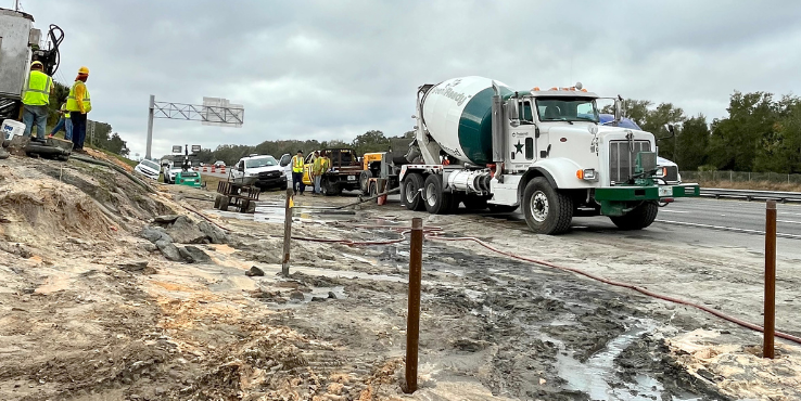
Compaction grouting involves injecting a thick, low-mobility grout mixture under pressure at targeted depths. The grout displaces and compacts weak or loose soils, filling voids and increasing the ground’s load-bearing capacity without requiring excavation. This method works particularly well when voids are located deep beneath the surface, where any other approach would be impractical.
Chemical grouting, sometimes using polyurethane foam or other injected materials, fills smaller voids and stabilizes soil at shallower depths. The material expands to fill irregular voids and cures quickly, minimizing disruption to the property and allowing the area to return to normal use within hours rather than days.
Both methods can be used together when a site has multiple layers of concern. A geotechnical engineer determines the injection points, depths, and grout volumes based on the test data collected during the inspection phase.
Foundation Support For Structures Showing Settlement
When a structure has already settled unevenly due to soil movement, grouting alone may not be enough. Helical piers are a common solution in these cases. A helical pier is a steel shaft with helical plates that is driven into the ground and turned, like a large screw, until it reaches competent soil or bedrock at a stable depth.
The pier is then connected to the foundation with a bracket, and the structure’s load is transferred down through the pier to the stable bearing layer below. This stops further settlement and, in some cases, allows for partial lifting of the settled section.
Helical piers work well in Florida because they can be installed in confined spaces, generate little vibration, and reach stable bearing depths even in areas with high water tables or sandy upper soils. The installation process typically causes minimal disturbance to landscaping and does not require heavy equipment that would damage driveways or lawns.
Staying Ahead Of Future Ground Issues
A proactive approach to sinkhole detection and prevention takes less than an hour of monitoring but provides the early warning needed to avoid structural emergencies. The goal is not to diagnose geological conditions yourself, but to notice changes quickly and act before they compound.
A Simple Property Check You Can Do Seasonally
Walk the full perimeter of your home and yard at least twice a year, ideally once before Florida’s wet season begins in late spring and once after it ends in fall. Use the following checklist as your guide:
- Foundation perimeter: Look for new cracks wider than a hairline, gaps between the slab edge and soil, or areas where the ground appears lower than it was previously.
- Yard surface: Walk slowly across all lawn areas and note any soft spots, circular depressions, or areas where grass has died in a roughly circular pattern, which can indicate a void below.
- Driveway and walkways: Check for cracks that have appeared since your last inspection, sections that feel hollow when tapped, or areas that have settled relative to adjacent slabs.
- Interior floors: Use a level on multiple floor locations and note any readings that differ from your last check.
- Windows and doors: Open and close every window and door in the home. Note any new sticking, gaps, or frames that appear out of square.
Photograph anything that concerns you and date the photos. This record is valuable both for tracking changes over time and for any future insurance claims.
When To Schedule A Professional Inspection
Schedule a professional inspection whenever your seasonal walkthrough finds two or more new signs in the same area of the property. A single door that sticks after a humid week is usually humidity-related expansion. A sticking door combined with a new floor crack and a soft spot in the adjacent yard is a different situation entirely.
Also schedule an inspection after any major weather event, particularly after intense rainfall that follows a dry period. As noted earlier, that specific weather pattern is strongly associated with increased sinkhole activity across north-central Florida.
If a neighbor’s property experiences confirmed sinkhole activity, do not wait for signs to appear at your own home. Sinkhole formation in karst terrain often reflects broader patterns of limestone dissolution, and activity at one address raises the likelihood of similar conditions on adjacent lots.
Frequently Asked Questions
Alachua County has documented sinkhole and subsidence activity across much of its land area, and residents often have specific questions about local risks and what to do when they spot something concerning. The answers below address the most common questions about Gainesville and the surrounding area.
Are there any reported sinkholes in Gainesville today?
Yes, subsidence incidents have been reported in Gainesville and throughout Alachua County on an ongoing basis. The Florida Geological Survey maintains a statewide database of reported subsidence incidents, which includes records from Alachua County. Because reporting is voluntary and not all incidents are field-verified, the actual number of events likely exceeds what appears in the database.
Where can I find a current map of reported sinkholes near Gainesville?
The Florida Department of Environmental Protection provides a publicly accessible mapping tool called Map Direct, which displays the location and type of reported subsidence incidents statewide. You can search by county or zoom into a specific area to see historical reports near your property. Keep in mind that this data reflects reported incidents, not a comprehensive survey of all active conditions.
What should I do if I notice sudden ground settling or cracks on my property?
Stop using the affected area and keep people and vehicles away from any depression or heavily cracked section. Document the damage with dated photographs and note the size and location of any cracks or depressions. Contact a licensed foundation or geotechnical professional promptly to schedule a site evaluation before conditions worsen.
How can I check whether my home is in a higher-risk sinkhole area?
You can review the Florida Geological Survey subsidence incident map to see whether reports cluster near your address. Alachua County also has its own resources related to sinkhole-prone areas. Your county property appraiser’s records and soil survey maps from the Natural Resources Conservation Service can provide additional context about the geology beneath your specific parcel.
Are there free local or state resources for sinkhole reporting and risk information?
Yes. The Florida Geological Survey accepts voluntary sinkhole reports from the public by mail, email, and phone. Alachua County has also published a sinkhole fact sheet that outlines how active sinkhole features are treated during development and what homeowners should know about protecting groundwater near sinkhole openings. These resources are available at no cost and provide useful context for property owners trying to assess local risk.
How deep is the Alachua Sink, and is it connected to nearby sinkhole activity?
The Alachua Sink, located within Gainesville near Paynes Prairie, drops more than 120 feet and connects directly to the Floridan Aquifer. It is one of the most striking visible examples of karst activity in the region and illustrates the scale of underground dissolution beneath the city. While the sink itself is a historic and stable geological feature, it exists within the same karst system that produces smaller, less predictable subsidence events throughout the surrounding area.
Ground Doesn’t Lie, Neither Should Your Response To It
Gainesville sits in a part of Florida where the geology is genuinely active. That doesn’t mean every property is at immediate risk, but it does mean that signs of ground movement deserve a serious look rather than a wait-and-see approach. The difference between a manageable repair and a major structural loss often comes down to how quickly you act after noticing the first clue.If something you’ve seen on your property matches the warning signs described here, Helicon Foundation Experts offers free, no-obligation inspections across Florida, including the Gainesville area. Scheduling that inspection is the most direct way to turn uncertainty into a clear plan, and it costs you nothing to find out where you stand.